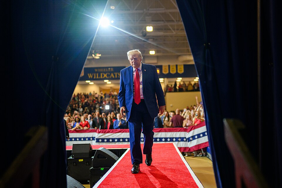
The left definitely didn’t like this.
President Donald Trump stunned political observers Monday after sharing an extraordinary map depicting a dramatically expanded United States that appeared to include Canada, Mexico and several other neighboring territories.
The AI-generated image quickly attracted attention because it showed American flag imagery stretching far beyond the country’s current borders.
But there is an important distinction: Trump did not announce an official plan to annex Canada or Mexico when he shared the image. Instead, the unusual map arrived during a burst of social-media posts from the president that included provocative messages about America’s borders, neighboring countries and geographic names.
The timing is especially notable as the United States remains locked in major economic and political disputes with its North American neighbors.
Trump’s Map Shows a Much Bigger America
The image shared by Trump depicted Canada and Mexico under American flag imagery, along with Greenland, Cuba, Guatemala and other territories.
Trump offered little explanation for the map, leaving Americans to debate whether it represented political humor, negotiating rhetoric, a symbolic vision of American power or something more serious.
That uncertainty helped fuel immediate reaction online.
The inclusion of Canada was particularly significant because Trump has repeatedly discussed the country’s relationship with the United States and previously suggested Canada could become America’s 51st state.
Canadian leaders have firmly rejected that idea.
Trump’s inclusion of Mexico also raised eyebrows because border security has been one of the defining issues of his political career.
LOOK:
BREAKING: President Trump teases a U.S. expansion map that would include Canada, Greenland, Mexico, Cuba, parts of Central America, & the Caribbean. pic.twitter.com/Ooblgml55b
— Polymarket (@Polymarket) September 7, 2026
Mexico Creates a Major Question
Trump has spent years advocating for a stronger southern border, tougher immigration enforcement and increased efforts to stop illegal crossings.
That makes an image showing Mexico effectively incorporated into the United States especially unusual.
If interpreted literally, such a scenario would eliminate the international border Trump has fought for years to strengthen.
The president, however, provided no detailed explanation of how Americans should interpret the image.
That leaves a major unanswered question: Was Trump signaling an actual political ambition, making a joke or simply using a provocative image to generate attention?
For now, the post alone doesn’t provide an answer.
Canada Is Already at the Center of a Bigger Fight
Trump’s map comes amid significant tension between Washington and Ottawa.
Trade has become a major source of disagreement between the two countries, with Trump taking an increasingly aggressive approach toward Canada as his administration pushes for economic policies designed to benefit American businesses and workers.
Those tensions have already spilled into another surprising area: geography.
Trump recently signed an executive order directing the federal government to refer to Lake Ontario as “Lake America.”
The move does not force Canada or international organizations to adopt the American government’s preferred name, but it represents another example of Trump’s willingness to challenge long-established geographic conventions.
The president has also repeatedly suggested that Canada should have a much closer relationship with the United States.
Canadian leaders have made clear that they have no intention of surrendering their country’s independence.
Trump’s Geographic Overhaul Keeps Growing
The Canada-Mexico map wasn’t Trump’s only attention-grabbing geographic post.
Trump has also promoted changing the name of New Mexico to “New America.”
He shared several altered maps showing the state with the proposed new name, adding another chapter to his growing campaign involving American place names.
Trump previously ordered the federal government to use “Gulf of America” instead of Gulf of Mexico and restored the name Mount McKinley for North America’s tallest mountain.
His administration later added Lake Ontario to that list by adopting “Lake America” for federal usage.
Changing the name of an American state would be a very different matter.
A president cannot simply rename a state through an executive order. Any serious attempt to change New Mexico’s official name would face substantial constitutional and political hurdles.
Critics on the Left and Right React
Trump’s expanded-America map generated criticism from commentators across the political spectrum, although their objections differed considerably.
Some critics argued that the president was using provocative social-media posts to shift attention away from economic and foreign-policy issues.
Others focused on the apparent contradiction between Trump’s long-running support for strong national borders and an image in which America’s northern and southern international boundaries effectively disappear.
Conservative writer James Lindsay summed up his reaction with a straightforward question: “Why would we want this, though?”
Political journalist Nick Field also pointed to an unusual historical twist.
Years ago, some conservatives expressed concerns about the possibility of deeper political integration between the United States, Canada and Mexico. Trump’s map effectively turned that old debate on its head by portraying the three countries under American imagery.
Is There Really a Trump Takeover Plan?
Despite the attention surrounding the image, there is currently no announced Trump administration plan to absorb Canada and Mexico into the United States.
That distinction matters.
An AI-generated social-media post is not the same thing as an executive order, proposed legislation or formal foreign-policy initiative.
Trump’s actual intentions therefore remain unclear.
Still, the image cannot be completely separated from the president’s broader rhetoric.
Trump has previously discussed Canada potentially becoming the 51st state and has continued expressing interest in acquiring Greenland, arguing that control of the strategically important Arctic territory would benefit American national security.
Those comments have repeatedly drawn resistance from leaders outside the United States.
Why This Matters for Americans
Beyond the dramatic map, the underlying relationship between the United States, Canada and Mexico has serious economic consequences.
The three countries have deeply interconnected economies, particularly in industries such as automobiles, agriculture, manufacturing and energy.
Changes to tariffs and trade agreements can therefore affect American businesses, workers and consumers.
The Trump administration has already taken a harder line on North American trade, arguing that existing arrangements should do more to protect American manufacturing and reduce U.S. trade deficits.
That means the real-world disputes taking place between Washington and its neighbors are far more consequential than an unusual social-media image.
What Happens Next?
Trump has not explained whether Americans should interpret the expanded map seriously, symbolically or simply as political humor.
Until the White House announces an actual policy, claims that the United States is preparing to take over Canada or Mexico would go beyond the available evidence.
What is clear is that Trump’s approach toward America’s neighbors has changed the political conversation.
From trade disputes and border security to Greenland, Canada, Lake Ontario and even the name of New Mexico, the president continues to challenge assumptions about America’s geography and its relationship with the countries surrounding it.
His latest map takes that message further than ever — depicting a North America where the United States is considerably larger than it is today.
Whether it represents political trolling or something Trump genuinely wants Americans to consider remains an open question.